
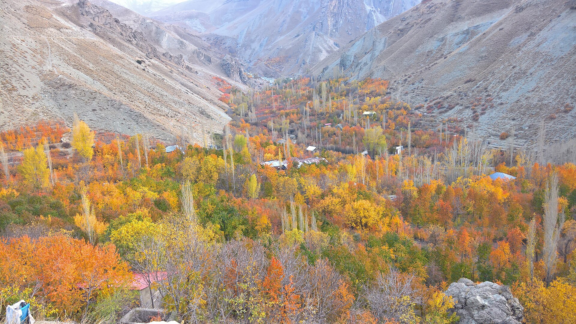
On a bad winter day the sky over Tehran turns brown by mid-morning, and the quickest way to escape Tehran air pollution is to head uphill. The capital sits in a bowl against the Alborz mountains. In winter, cold air settles over the city and holds exhaust fumes close to the ground until wind or rain clears them. Climb a few hundred metres into the valleys north of the city, or drive west towards Karaj, and you can often step out above the haze.
This list covers nine places within about two hours of central Tehran where the air is noticeably fresher. Some are a metro ride and a short walk away. Others are best saved for a full day out with a car and driver. For a wider choice of excursions, see our guide to day trips from Tehran.
Clean-air escapes near Tehran at a glance
| Destination | Direction from Tehran | Rough journey time | Best season |
|---|---|---|---|
| Darband and Darakeh | North, inside the city | 30 to 45 minutes by metro and taxi | All year |
| Fasham and Meygoon | North-east | About 1 hour | All year |
| Emameh | North-east | About 1 hour 15 minutes | Spring to autumn |
| Afjeh | North-east | About 1 hour | Spring to autumn |
| Lavasan and Latyan Dam | North-east | About 45 minutes | All year |
| Garmabdar and the Lar plain | North-east | About 2 hours | Summer |
| Varish and the Kan valley | North-west | About 45 minutes | Spring to autumn |
| Barghan | West, past Karaj | About 1 hour 30 minutes | Spring and autumn |
| Shahrestanak | North-west, off the Chalus road | About 2 hours | Summer and autumn |
1. Darband and Darakeh: fresh air without leaving the city
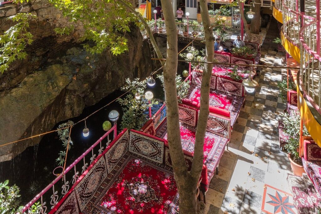
Darband is the closest escape, at the very top of Tehran where the streets give way to the mountain. A stepped path follows the river up the valley from Sarband, lined with teahouses and restaurants on terraces built over the water. The higher you walk, the thinner the crowds and the cleaner the air. Fit walkers carry on to the Shirpala mountain shelter at roughly 2,750 metres.
Darakeh, one valley to the west, is quieter and has its own riverside trail. Both are busiest on Friday mornings, so go on a weekday if you can. Our guide to parks and hiking in Tehran has more on both trails.
Getting there: take Metro Line 1 to Tajrish, then a 10-minute taxi ride to the foot of the trail.
2. Fasham and Meygoon: mountain villages on the road to the ski slopes
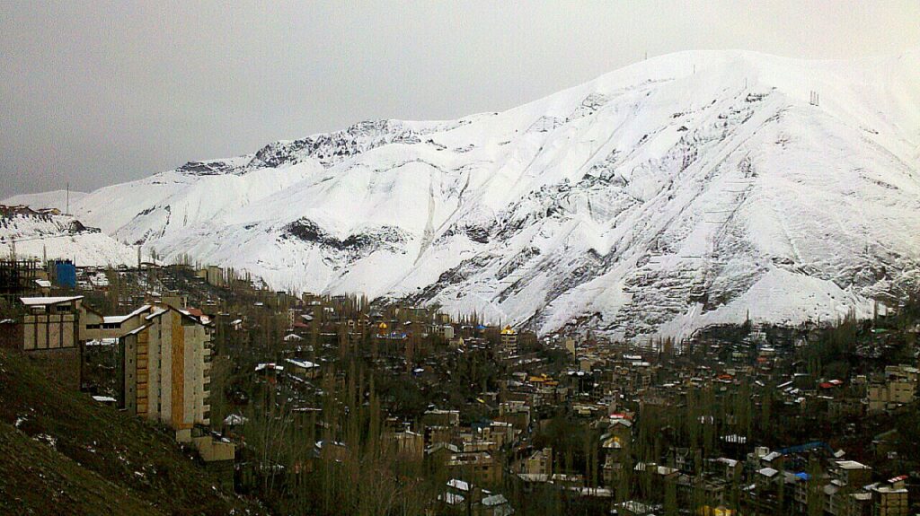
The road north-east from Tehran climbs past Lashgarak to Fasham, the main town of the Rudbar-e Qasran district. Fasham has cafés, bakeries and garden restaurants. Meygoon, further up the valley, sits higher still, with snow on the surrounding peaks for much of the year.
The same road continues to the Shemshak and Dizin ski resorts, so this route suits a winter day of skiing or a walk in the snow. See our guide to the best ski resorts around Tehran for lift times and prices. Roads above Fasham can need snow chains after heavy snowfall, so check conditions before you leave.
3. Emameh: an old route village east of Fasham
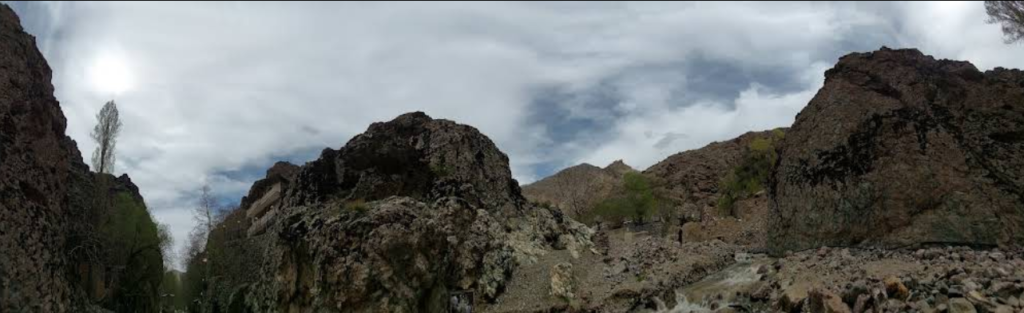
Emameh is made up of two settlements, Emameh-ye Bala and Emameh-ye Pain, strung along a river lined with orchards east of Fasham. During the Qajar era it was one of the best-known villages on the old route between Tehran and the northern slopes of the Alborz. Today it is a base for hikes into the hills above the village.
Spring and early summer bring wildflowers and full rivers. In winter the road can be blocked after heavy snow, so this one is best kept for the warmer months.
4. Afjeh: a hillside village in Lavasanat
Afjeh is the main village of the Lavasan-e Kuchak rural district, on the slopes north of Lavasan. Its houses climb the hillside above gardens and a river valley, and trails lead from the village towards the Giahchal waterfall, a popular hike for Tehranis.
Afjeh fills up at weekends when families drive up for picnics. On a weekday you may have the paths largely to yourself. Afjeh also features in our round-up of the most beautiful villages around Tehran.
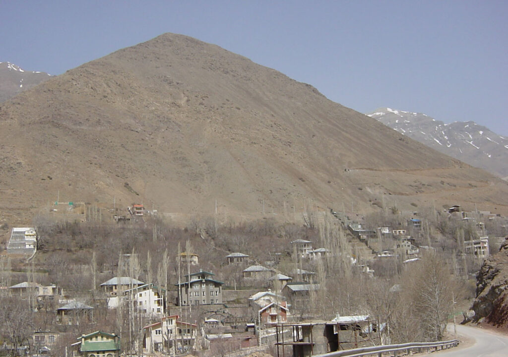
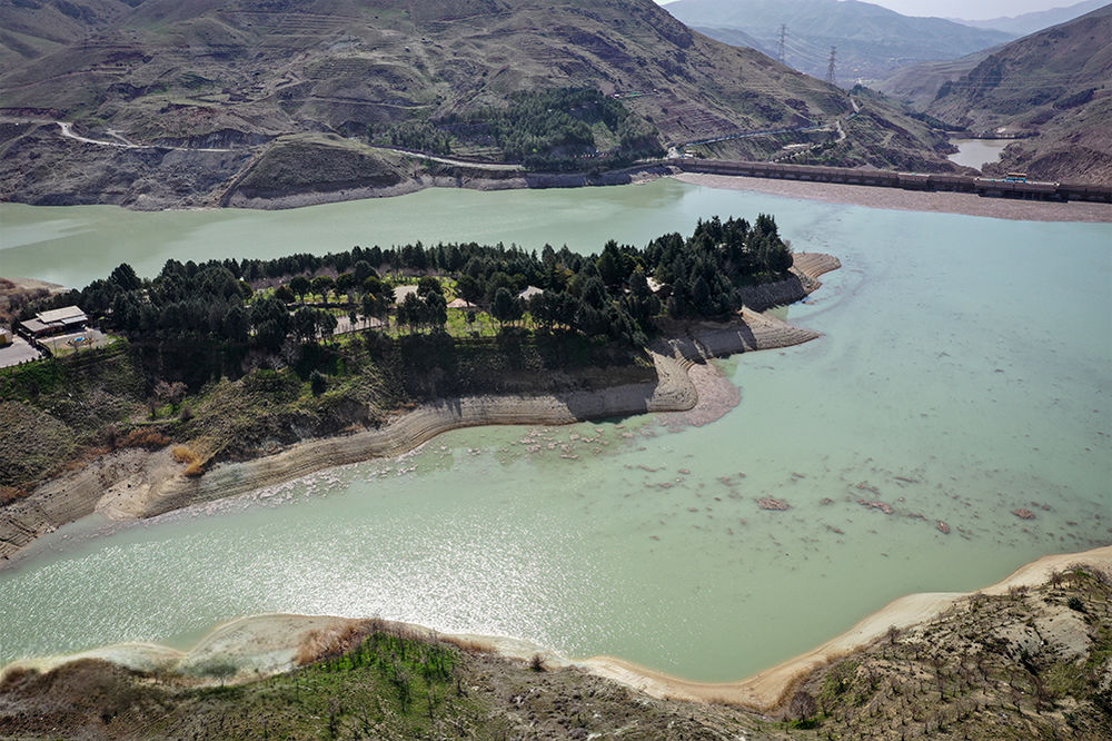
5. Lavasan and Latyan Dam: lakeside views 11 km from the city
Lavasan lies 11 km north-east of Tehran on the slopes of the Alborz, with the Jajrud river running through it. In the 1960s a dam was built south-east of the town, and its reservoir, Latyan, is still one of the capital’s sources of drinking water. Swimming in the reservoir is not allowed, but the roads around it have viewpoints over the water and the town has plenty of restaurants.
Lavasan is the easiest escape on this list to reach by taxi, and it stays open all year.
Open Latyan Dam in Google Maps
6. Garmabdar and the Lar plain: summer pastures below Damavand
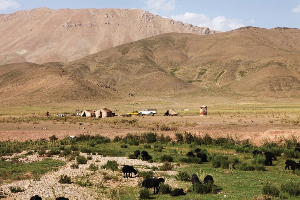
Beyond Shemshak a road climbs to Garmabdar and on towards the Lar plain at the foot of Mount Damavand. Lar is a protected area, and shepherds bring their flocks up to its high pastures in the warmer months.
Access to the protected zone is controlled by Iran’s Department of Environment and is usually allowed only in summer, so check before you set out. This is a full-day trip best done with a driver who knows the road.
7. Varish and the Kan valley: orchards on the north-west edge
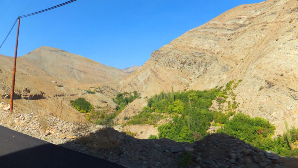
Drive north-west out of the city through Sulqan into the Kan valley and the air starts to clear within half an hour. Vardij sits on this road. Continue and you reach Varish, a summer village at the foot of the mountains known for its cherry and walnut orchards.
Varish is small, with 483 residents at the 2016 census, so bring your own food and water.
8. Barghan: a river village beyond Karaj
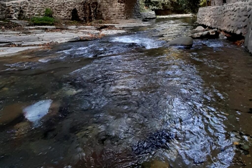
Barghan lies in Savojbolagh county in Alborz province, about 13 km from Karaj. Two rivers, the Sanj and the Shahroud, flow past the village, and an old brick bridge crosses the water near its historic quarter. Soffeh mountain rises above it.
Nearby Atashgah has archaeological remains thought to date to the Sasanian era, which makes a good second stop on the way back.
9. Shahrestanak: a Qajar shah’s summer retreat
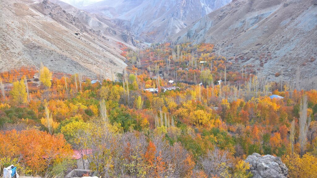
Shahrestanak sits about 2,190 metres above sea level off the Chalus road, around 90 km from Tehran. Naser al-Din Shah, who ruled from 1848 to 1896, built a summer palace here to get away from the heat and polluted air of the capital. The partly ruined Naseri Palace still stands in the village.
Locals also point to an ancient juniper known as Hoorast, said to be more than 2,500 years old. Experienced hikers can walk in from the Tochal summit. Autumn turns the orchards gold and red, which makes October the best month for photographs.
Open Shahrestanak in Google Maps
When to escape Tehran air pollution
Tehran’s worst air usually arrives between November and February, when cold, still days create temperature inversions that trap pollution under a layer of warmer air. Schools and offices in the capital are often closed on the worst days.
Those same days are often clear and bright in the mountain villages, so a bad forecast in the city can be a good forecast for a trip. In summer Tehran’s problem shifts to heat and dust, which is when high places like Shahrestanak and Lar are most rewarding. Our guide to Tehran in winter covers what else to do in the smog season.
Tips for travelling on polluted days
- Check the air quality index first. Tehran’s Air Quality Control Company publishes live readings at airnow.tehran.ir. A reading above 150 is considered unhealthy for everyone.
- Leave early. Traffic out of the city builds quickly on Thursday afternoons and Friday mornings, and the Chalus and Fasham roads can back up for hours.
- Wear a fitted mask in the city. An FFP2 or N95 mask filters far more fine particles than a cloth or surgical mask.
- Carry snow chains in winter. Police can turn back cars without chains on the Chalus road and above Fasham after snowfall.
- Hire a driver for the longer trips. Snapp works well for Darband or Lavasan, but a driver for the day is easier for Lar or Shahrestanak.
- Dress in layers. The villages sit hundreds of metres above the city and can be several degrees colder.
For more places to spend a weekend, see our list of villages around Tehran. The nearest escape on this list, Darband, is about 2 km from Tajrish Square, the northern end of Metro Line 1.

