
Updated November 2026 We have rechecked peak heights and access points for this guide and added safety advice for hiking above Tehran in every season.
The top peaks in Tehran rise straight out of the city’s northern suburbs, so you can leave a busy street in the morning and stand on a 3,000-metre summit by lunchtime. The southern slopes of the Alborz range, centred on the Tochal massif, hold dozens of summits, and Tehran Province as a whole has around a hundred named peaks. This guide covers 13 of the best-known climbs above the capital, from easy half-day walks to serious high-altitude routes.
Heights below are approximate, as published figures vary. Trail conditions change a great deal with rain and snow, so check the weather and ask at the trailhead before you set off.
1. Tochal (about 3,964 m)
Tochal is the highest point of the range above Tehran, at 3,964 metres according to Wikipedia. The classic route starts at Sarband Square in Darband, climbs past the Shirpala shelter and then follows the long south ridge to the summit. It is a long, demanding day on foot. At least ten other routes exist, all longer, including approaches from Kolakchal, Dar Abad and Chin Kalagh. The easier option is to ride the Tochal telecabin from Velenjak, which reaches about 3,740 metres near the main ridge, and walk the final stretch. Mount Tochal is also home to a ski resort; see our guide to the best places to ski, sledge and snowboard around Tehran.
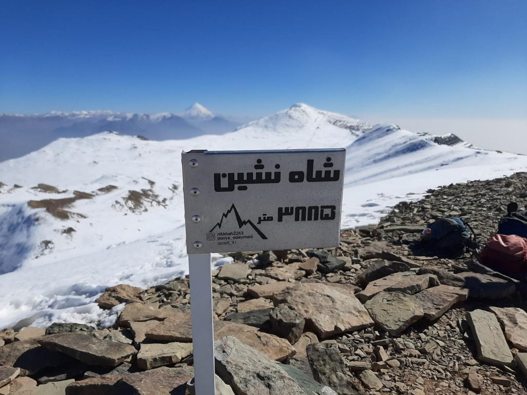
2. Shah Neshin (about 3,875 m)
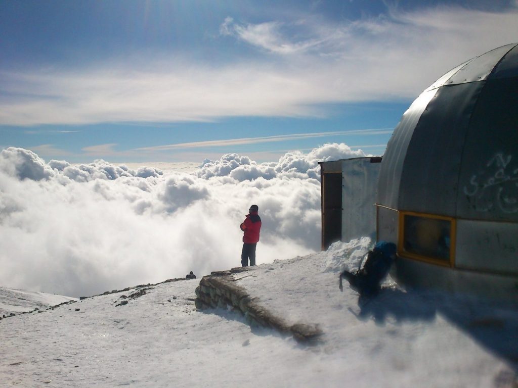
The second-highest summit above Tehran sits on the main Tochal ridge. It can be approached from Imamzadeh Davoud to the west or from the Darakeh and Palang Chal side, but the simplest way up is from the top telecabin station: follow the track past the ski slopes, cross a small pass and walk a short way along the ridge.
3. Sar Bazarak (about 3,840 m)
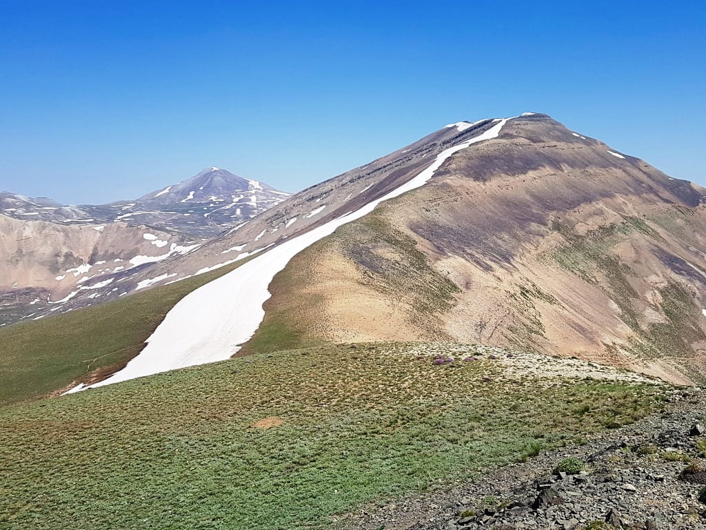
Just east of Shah Neshin, Sar Bazarak can be reached by continuing along the ridge from Shah Neshin or by climbing to the Ashtar Gardan pass, which you can reach from Darakeh via the Palang Chal shelter.
4. Dar Abad (about 3,150–3,200 m)
Rising above the Dar Abad neighbourhood in north-east Tehran, this peak makes a good full-day hike of roughly 12 kilometres there and back. From the parking area by the river, cross the bridge, pass the café and climb steadily to the old barracks and onto the ridge, which leads to a small shelter below the summit. The area also has a natural history museum; read about Dar Abad’s nature and wildlife museum.
5. Siahband (about 3,320 m)
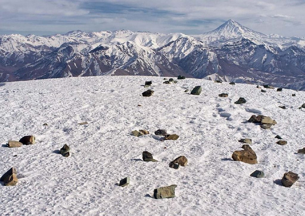
Siahband lies around two kilometres beyond Dar Abad peak and is usually climbed as an extension of that route. Some sections are narrow and exposed, which calls for real care in winter. An alternative approach starts from the villages of Hajiabad and Oshan.
6. Lezon or Piazchal (about 3,500 m)
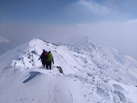
This twin summit, with western and eastern tops, sits on the Tochal ridge between Tochal and Dar Abad. The best approach is from the Kolakchal base, over the Spilit pass and across to the Piazchal pass, followed by a steep final climb. The traverse behind Kolakchal is exposed to avalanches in winter and should not be attempted then.
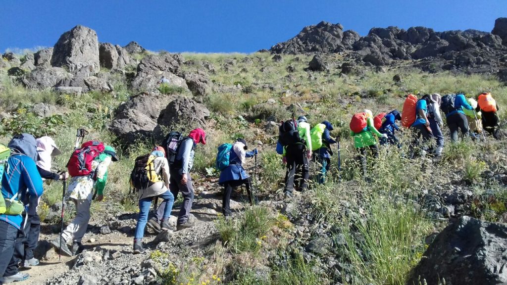
7. Spilit
Spilit stands above the Band-e Yakhchal area in the north of the city. Most hikers reach it on the Kolakchal route from Jamshidieh Park, climbing past the shelter to the Spilit pass on the north side of the peak.
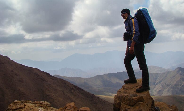
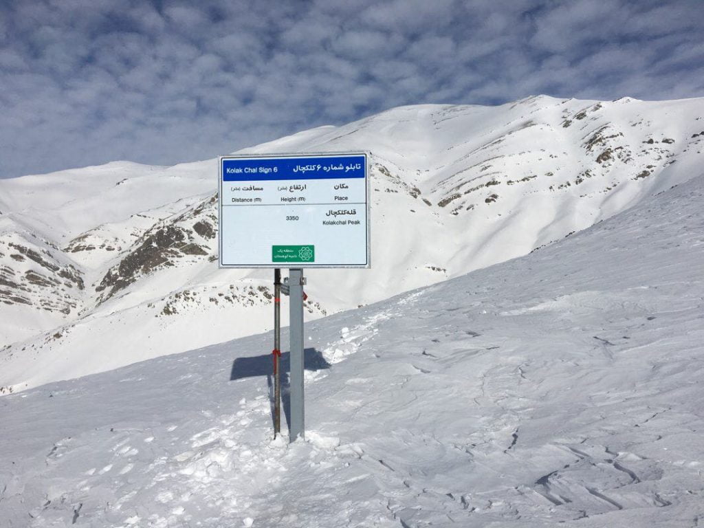
8. Kolakchal (about 3,350 m)
Kolakchal is probably the most accessible high peak in Tehran and a favourite weekend climb. The trail starts at Jamshidieh Park and winds up to the base camp, then on to the Spilit pass at around 3,000 metres. The last section follows a rocky ridge and a steep slope to the top.
9. Komachal (about 3,050 m)
Komachal is reached from Velenjak and the Bam-e Tehran area. One route starts near the Velenjak car park and follows the ridge; the other follows the track up alongside the telecabin, past the lower stations, before branching off towards the summit.
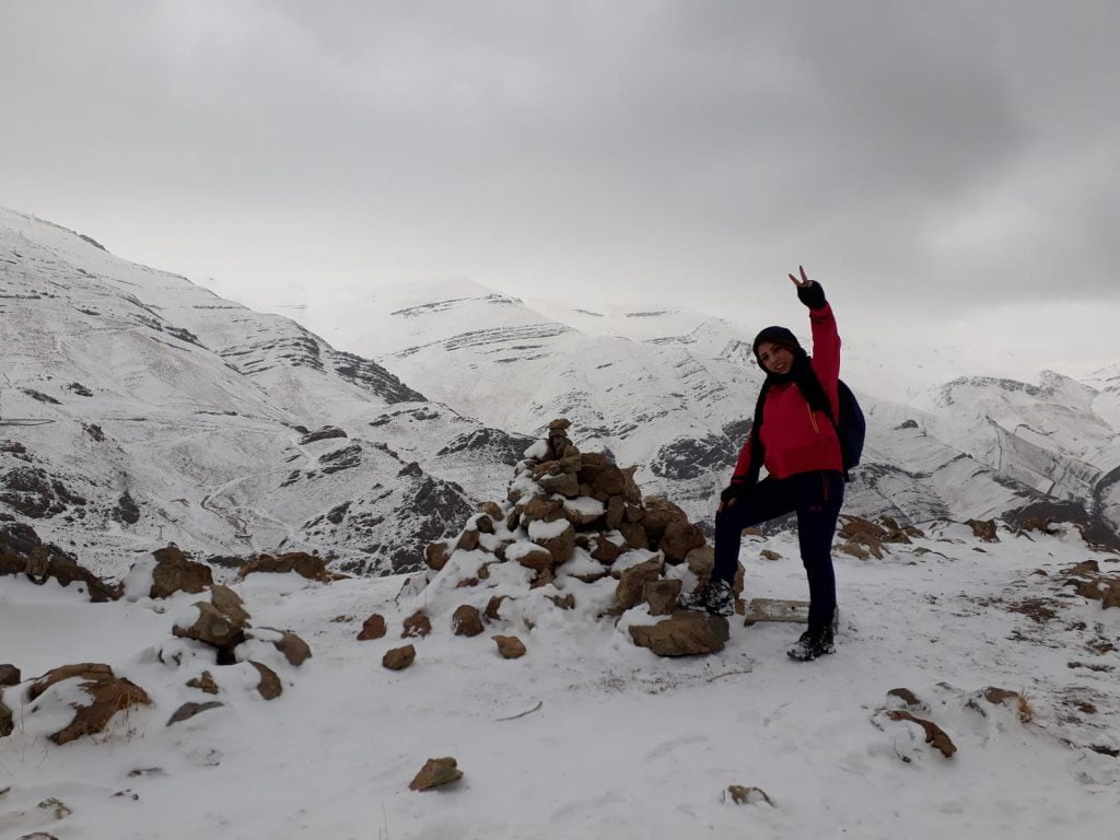
10. Chin Kalagh (about 2,820 m)
North of Saadat Abad and west of the Darakeh–Palang Chal route, Chin Kalagh is a good choice for a shorter outing. Start from the western side of Bam-e Tehran, pass the guard post and follow the valley track for about 500 metres to a spring, a popular spot for breakfast. From there you can take either the ridge or the valley to the top.
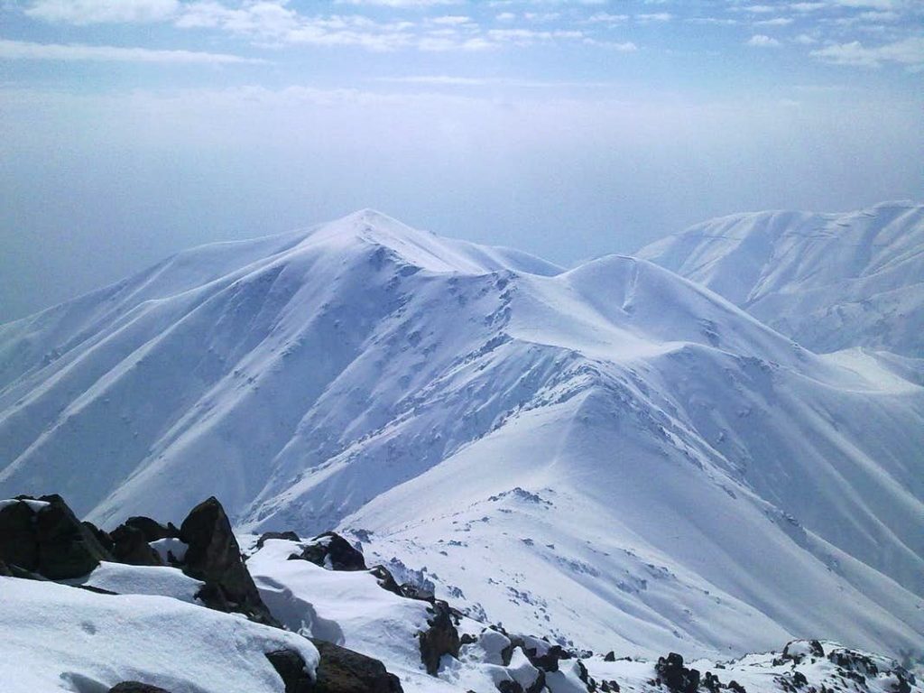
11. Palang Chal (about 3,550 m)
Palang Chal is climbed from Darakeh on a long route of around 12 kilometres. The trail reaches the Palang Chal shelter at about 2,550 metres and continues up the valley towards the summit. Because of avalanche danger, the summit is a summer-only objective.
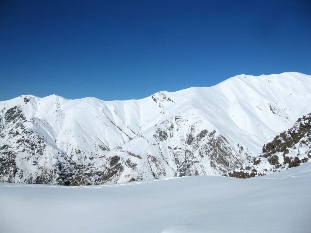
12. Doshakh (about 3,040 m)
Also reached from Darakeh, Doshakh has three main approaches: from Darakeh Square via Kara, from the Farahzad side, and from the Chin Kalagh route. The most popular climbs from Darakeh Square via Kara to the pass between Chin Kalagh and Doshakh.
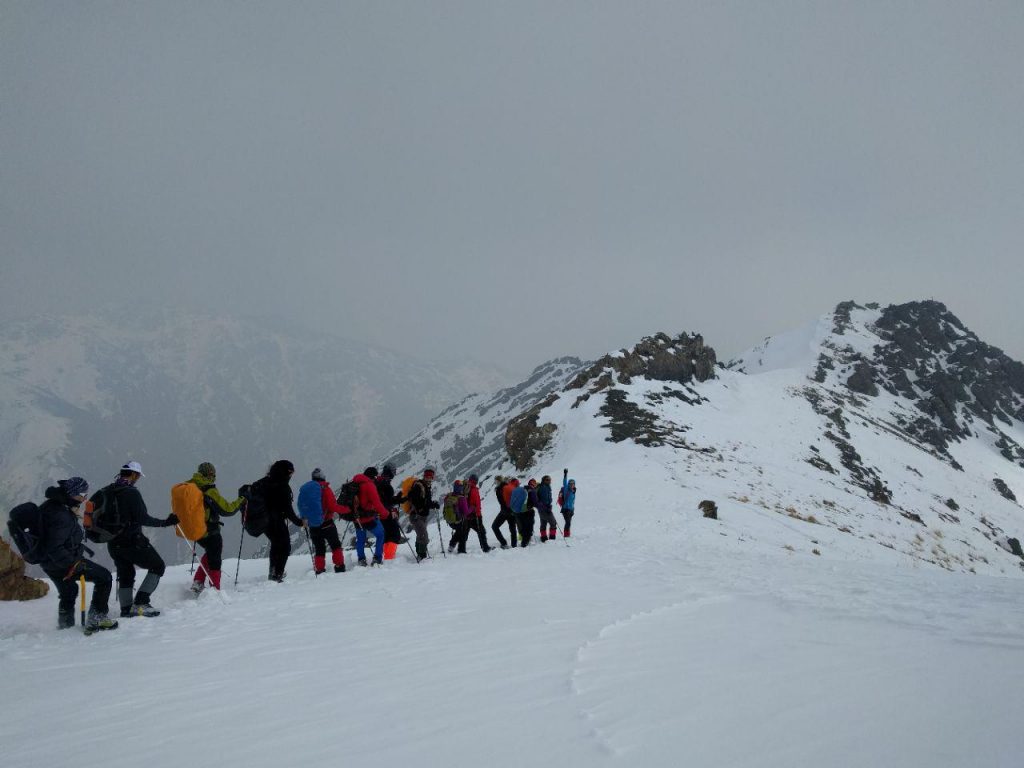
13. Band-e Eish (about 2,770 m)
In the north-west of the city, above Kan, Shahran and Hesarak, Band-e Eish can be climbed from four directions. The main route comes up from the south via Hesarak and the Dochenaran valley; others start from Solaqan in the west and from the Imamzadeh Davoud side to the north and east.
Safety tips for hiking above Tehran
- Start early. Summer afternoons are hot on the lower slopes, and weather on the higher ridges can change quickly.
- Respect the altitude. Several of these peaks are well above 3,500 metres. Build up gradually, drink plenty of water and turn back if you feel unwell.
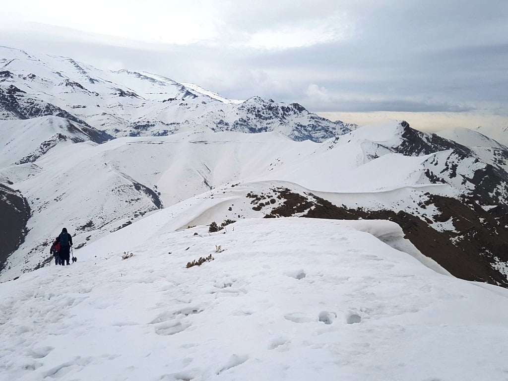
- Take winter seriously. Snow and avalanche risk make many routes, especially Palang Chal and the traverses behind Kolakchal, dangerous outside summer. Crampons, an ice axe and experience are essential on high routes in winter.
- Bring the right kit: sturdy boots, warm and waterproof layers, a headtorch, food and a fully charged phone.
- Do not hike alone on the longer routes, and tell someone where you are going and when you expect to return.
- Check the telecabin before relying on it. Hours vary by day and season, and Thursdays and Fridays are busy.